Living History - Base Camp
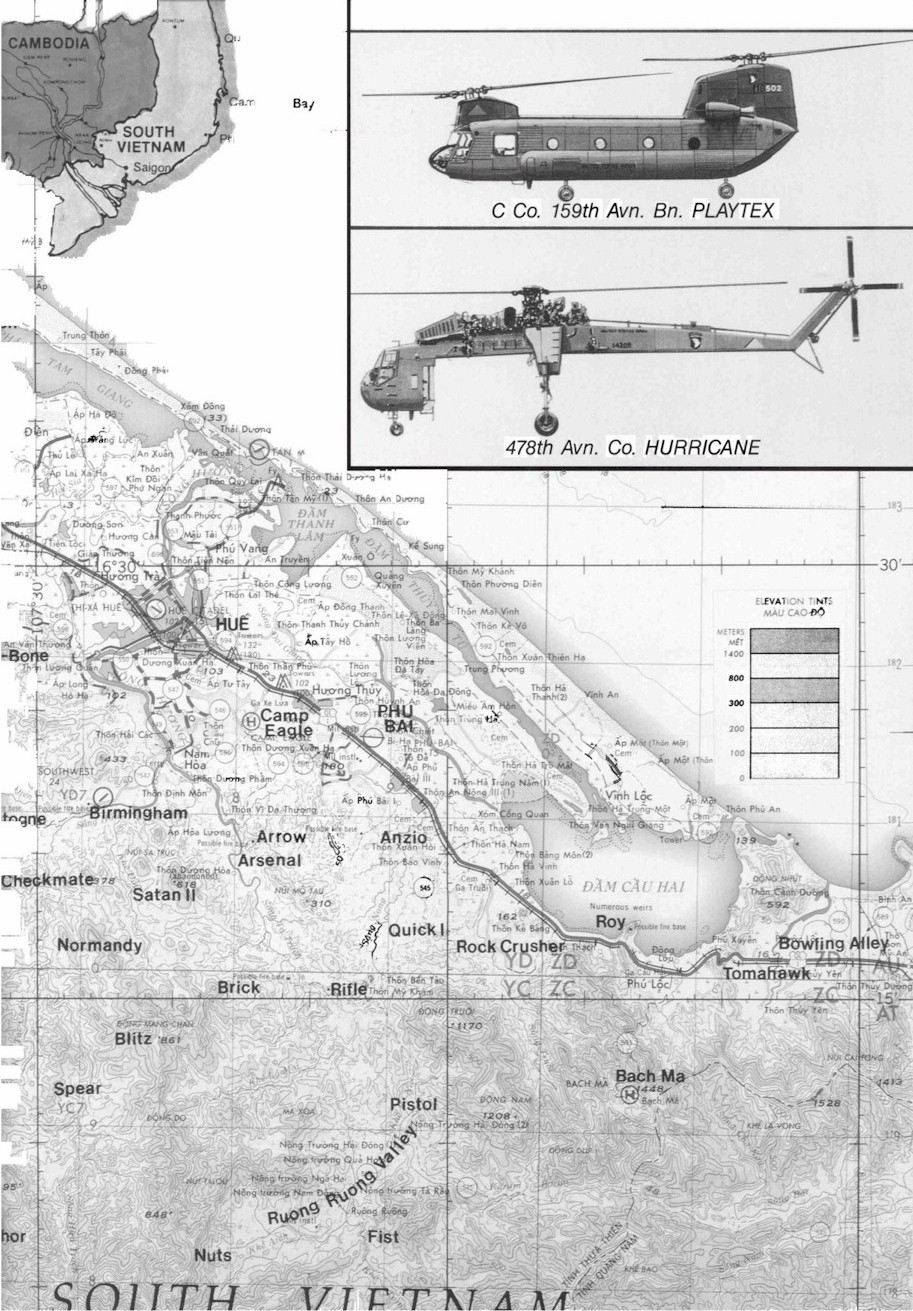
Map of the Bowling Alley
This map details an area know as “The Bowling Alley” which basically ran between Fire Base Roy to the North and Fire Base Los Banos/Lang Co to the South.

This map details an area know as “The Bowling Alley” which basically ran between Fire Base Roy to the North and Fire Base Los Banos/Lang Co to the South.
